Buying or selling land around Spring Hill can feel like a maze of acronyms and maps. You might be wondering what you can build, whether annexation will change your taxes, or how long a subdivision might take. You are not alone. With the right roadmap, you can move forward with clarity, protect your investment, and avoid costly detours. In this guide, you will learn how Spring Hill’s zoning, annexation, and subdivision rules work, where to find the official maps, and which steps matter before you sign a contract. Let’s dive in.
City vs. county: who regulates your land
Before anything else, confirm jurisdiction. Parcels inside Spring Hill city limits follow the City’s Unified Zoning Ordinance and subdivision rules. Land outside city limits follows county rules in either Johnson County or Miami County. Always start by verifying whether your parcel sits inside the city or in unincorporated county.
- Use the City’s map tools to find city limits, parcel data, and links to county GIS resources. Start with the City’s Maps & Property Info page for Johnson County AIMS and Miami County Beacon.
- If your land is inside city limits, the City’s Unified Zoning Ordinance (UZO) sets the zoning districts, permitted and conditional uses, and development standards.
- If your land is outside city limits, check county zoning in AIMS or Beacon and confirm which county planning office regulates permits.
Helpful links:
How to confirm zoning and future use
Two official city maps guide most decisions: the legal Zoning Map and the policy‑oriented Future Land Use Map. Use both for a complete picture.
- Start with the official Zoning Map PDF to see the current zoning district on your parcel. Check the map’s revision date.
- Cross‑check the Future Land Use Map in the City’s Comprehensive Plan to see the City’s preferred long‑term land uses for your area. This is the policy guide the Planning Commission and City Council use during rezonings and annexations.
- Remember: the Future Land Use Map is policy, not regulation. Zoning in the UZO is what controls what you can do today.
Key resources:
Spring Hill zoning districts in plain English
Spring Hill groups zoning into residential, commercial, industrial, and planned/special districts. Here is a quick translation of what they generally mean. For the full permitted uses and dimensional standards, check the UZO tables.
- AG (Agricultural): Farming and low‑intensity rural uses, often at the city’s edge. Intended to convert to urban uses over time.
- R‑R (Rural Residential): Low‑density residential with larger lots and rural character. Common as a holding district for newly annexed rural land.
- R‑1 (Single‑Family Residential): Low‑density city neighborhoods where public water and sewer are available. Lot sizes, setbacks, and allowed accessory uses are listed in the UZO.
- R‑2 / R‑3 / R‑4: Higher residential intensities, from duplexes to townhomes and apartments, where services and the comprehensive plan support it.
- MH (Manufactured Housing): For manufactured‑home subdivisions with specific standards.
- C‑O (Office), C‑1 (Restricted Business), C‑2 (General Business): From neighborhood‑scale services to broader community commercial uses. Performance, parking, and landscaping rules apply.
- MP (Industrial Park), M‑1 (General Industrial): Employment and manufacturing areas with buffers where they touch residential zones.
- PD (Planned District) and P‑O (Protective Overlay): Tools for custom, site‑specific rules tied to an approved plan. PDs are common for master‑planned subdivisions seeking flexibility in exchange for design commitments.
Reference: Unified Zoning Ordinance & Subdivision Regulations
Annexation basics that affect value
Annexation brings a parcel into the City of Spring Hill. It can change your taxes, services, and—most immediately—your zoning classification.
How annexation starts
Spring Hill follows Kansas annexation statutes. Annexation can occur by landowner consent, by city action under specific statutory conditions, or with county approval. The City aims to keep annexations consistent with the Comprehensive Plan and prepares a service extension plan when required. See the City’s policy overview for what to expect during the process: Spring Hill Annexation Policy.
What happens to zoning after annexation
This rule surprises many landowners: when rural land is annexed, parcels zoned AG through R‑R before annexation are automatically converted to the City’s R‑R (Rural Residential) zoning at the moment annexation becomes effective. If a property had a higher‑intensity classification than R‑R before annexation, it keeps that higher classification. If you want a more intense use after annexation, you must apply for rezoning through the public hearing process. Source: Unified Zoning Ordinance & Subdivision Regulations.
Taxes and special assessments
Annexation places your property inside the City’s taxing jurisdiction. Your bill will reflect the City mill levy and may remove or adjust certain township or district levies. Whether your total property tax goes up or down depends on the relative mill levies and any special assessments, applied to your assessed value under Kansas assessment rates. The City explains how mill levies and assessments are calculated here: Taxes and Fees.
There are also state rules for situations involving fire districts and potential refund procedures. For statutory details, see K.S.A. 12‑546.
Sewer and service extensions
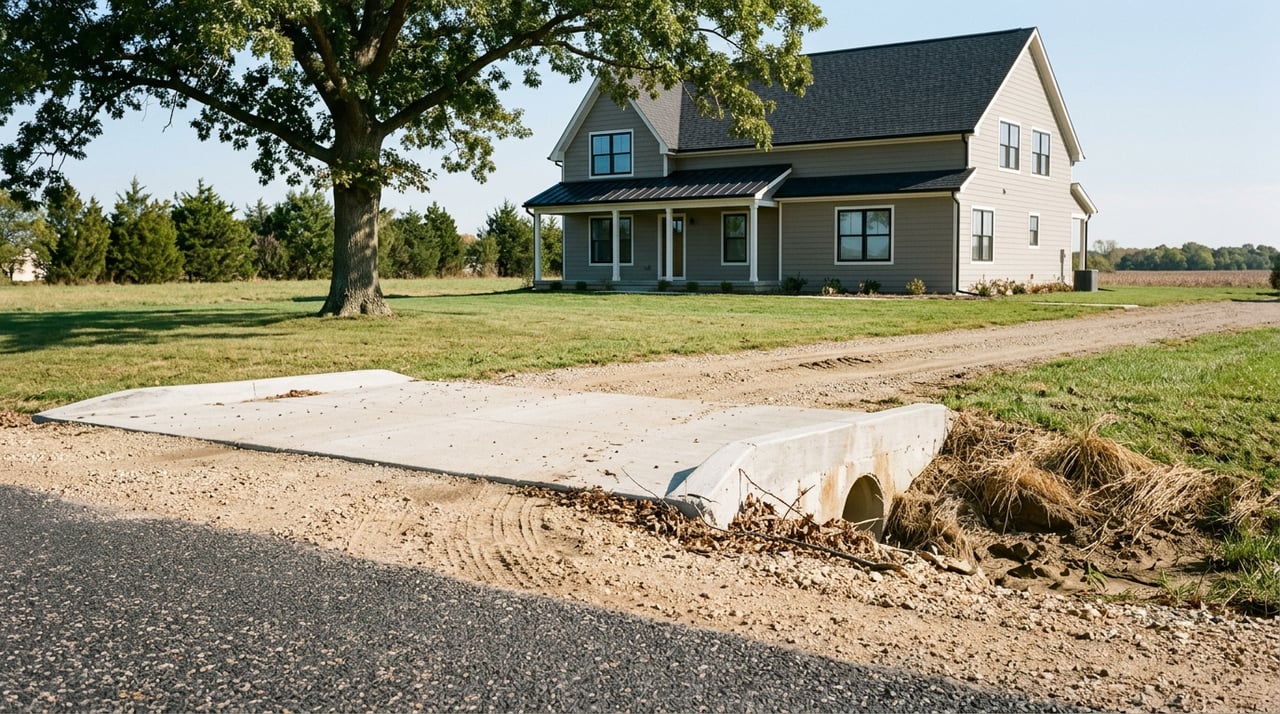
Sewer is often the make‑or‑break factor for development. Spring Hill uses Sewer System Benefit Areas to fund and build sewer infrastructure. Parcels inside these areas pay a proportional share to connect. Importantly, parcels outside city limits cannot connect to SSBA sewer infrastructure unless they annex into the City first. Review the City’s rules here: Sewer System Benefit Areas and Development.
When the City annexes unilaterally, it prepares a Plan for the Extension of Services with a timetable. County commissioners hold a five‑year follow‑up hearing to confirm that services were provided per plan. Study that timetable so you understand when water, sewer, streets, and emergency services are expected to arrive. See the Annexation Policy for the process overview.
Subdivision or rezoning: keys and timeline
Most development projects follow a predictable path. The earlier you align your plan with the UZO and the City’s Comprehensive Plan, the smoother it goes.
Start with a pre‑application meeting
Meet with Spring Hill Community Development to confirm submittal requirements, fees, and likely issues. The City posts application forms and deadlines on its development page: Development Applications.
Rezoning, conditional use, or PD applications
- You or your consultant file a complete application package ahead of the Planning Commission deadline.
- The Planning Commission holds a public hearing with required notices by publication, mailed notice to nearby owners, and on‑site posting.
- After the hearing, a 14‑day protest period applies. If owners of at least 20 percent of the notified adjoining property sign valid protest petitions, City Council approval requires a three‑fourths vote of all members.
- With normal meeting schedules and notice periods, expect a minimum of several weeks to a few months. Complex studies, continuances, or protests can extend the timeline. See the UZO for exact notice and protest rules: Unified Zoning Ordinance & Subdivision Regulations.
Subdivision: preliminary and final plats
- Typical sequence: preliminary plat, engineering plan review, and final plat.
- Public improvements like streets, water, sewer, and storm drainage must be installed before final plat approval or guaranteed through performance bonds, with a maintenance bond period after acceptance.
- Budget for engineering, surveying, utility extensions, stormwater compliance, rights‑of‑way, and potential participation in benefit districts. Standards and bonding requirements are in the UZO: Unified Zoning Ordinance & Subdivision Regulations.
Buying or selling land: your due diligence checklist
Use this quick checklist to avoid surprises and price your deal with confidence.
- Confirm jurisdiction and zoning. Verify city limits, open the official Zoning Map, and request a zoning verification letter if needed. Start here: Maps & Property Info and the Spring Hill Zoning Map.
- Cross‑check the Future Land Use Map to understand how the City views the area long term: Future Land Use Map.
- Order a current survey and title search to identify easements, recorded plats, or covenants.
- Evaluate utilities and sewer. Ask if the site is inside a Sewer System Benefit Area, what the proportional share might be, and whether annexation is required to connect: Sewer System Benefit Areas and Development.
- If sewer is not available, coordinate septic feasibility with the county health/environmental office. Confirm well or public water options.
- Check FEMA floodplain maps and county floodplain layers. Floodways or special flood hazard areas can add permits and elevation requirements. Start with FEMA’s map service: FEMA Flood Map Service Center.
- Meet Community Development early to discuss likely rezonings, improvement requirements, timelines, and fees: Development Applications.
Common Spring Hill scenarios
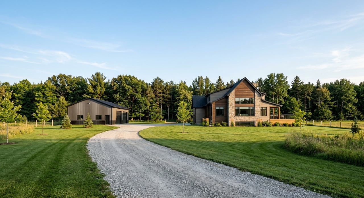
- You own 10 to 40 acres just outside city limits and want to split lots. If you need city sewer, annexation is likely. Expect the parcel to convert to R‑R upon annexation unless it already carried a higher classification, with any higher‑density development requiring a rezoning aligned with the Future Land Use Map and UZO.
- You are buying a platted lot inside city limits zoned R‑1. Your primary checks are setbacks, allowed accessory uses, and any neighborhood covenants. All standards are in the UZO tables.
- You are selling farmland that borders the city and has nearby sewer improvements. Ask whether the tract sits in or near a Sewer System Benefit Area, what the connection share might be, and how annexation could be timed with a rezoning to match the Future Land Use Map. Buyers will price these items into offers.
- You are an investor eyeing a PD for a master‑planned neighborhood. Plan for a detailed concept plan, neighborhood compatibility discussions, public hearing timelines, and potential participation in benefit districts or off‑site improvements.
Pro tips to avoid delays
- Check comp plan alignment first. If your concept matches the Future Land Use Map, your rezoning case starts on stronger footing.
- Build the schedule around hearing windows. Filing deadlines, notice periods, the 14‑day protest window, and Council meetings create real time constraints.
- Budget for infrastructure and bonds. Streets, water, sewer, storm drainage, performance bonds, and maintenance bonds are standard requirements.
- Document annexation impacts early. Model taxes with and without annexation, confirm any special assessments, and understand how city services will phase in per the annexation service plan.
- Coordinate with neighbors. Early outreach can reduce protest petitions and speed approvals.
Ready to move from questions to a plan?
Whether you are testing the market for a family tract, lining up a subdivision, or evaluating a commercial or industrial site, the steps above will help you make informed decisions. If you want a second set of eyes on zoning, annexation, and timelines, we are here to help. Schedule a conversation with Nancy Kirk Matthew to talk through your land or home opportunity.
FAQs
What does the Spring Hill Future Land Use Map mean for my rezoning?
- The Future Land Use Map is a policy guide the City uses to evaluate rezonings and annexations; it shows preferred future uses but does not change your zoning, which is controlled by the UZO.
How does annexation change my property taxes in Spring Hill?
- Annexation adds the City mill levy and may remove or adjust some township or district levies; the total impact depends on relative mill rates, special assessments, and your assessed value.
Can I connect to city sewer without annexing in Spring Hill?
- If the sewer is part of a Sewer System Benefit Area, parcels outside city limits cannot connect unless they annex first, and they must pay a proportional share to join.
How long does a typical Spring Hill rezoning or annexation take?
- With application deadlines, public notice, a Planning Commission hearing, a 14‑day protest period, and City Council action, plan for several weeks to a few months, longer if issues arise.
What improvements are required when I subdivide land in Spring Hill?
- Public improvements such as streets, water, sewer, and storm drainage are required; you must either build them before final plat or post performance bonds, followed by a maintenance bond period after acceptance.